Yves Hughes · 30 September 2026
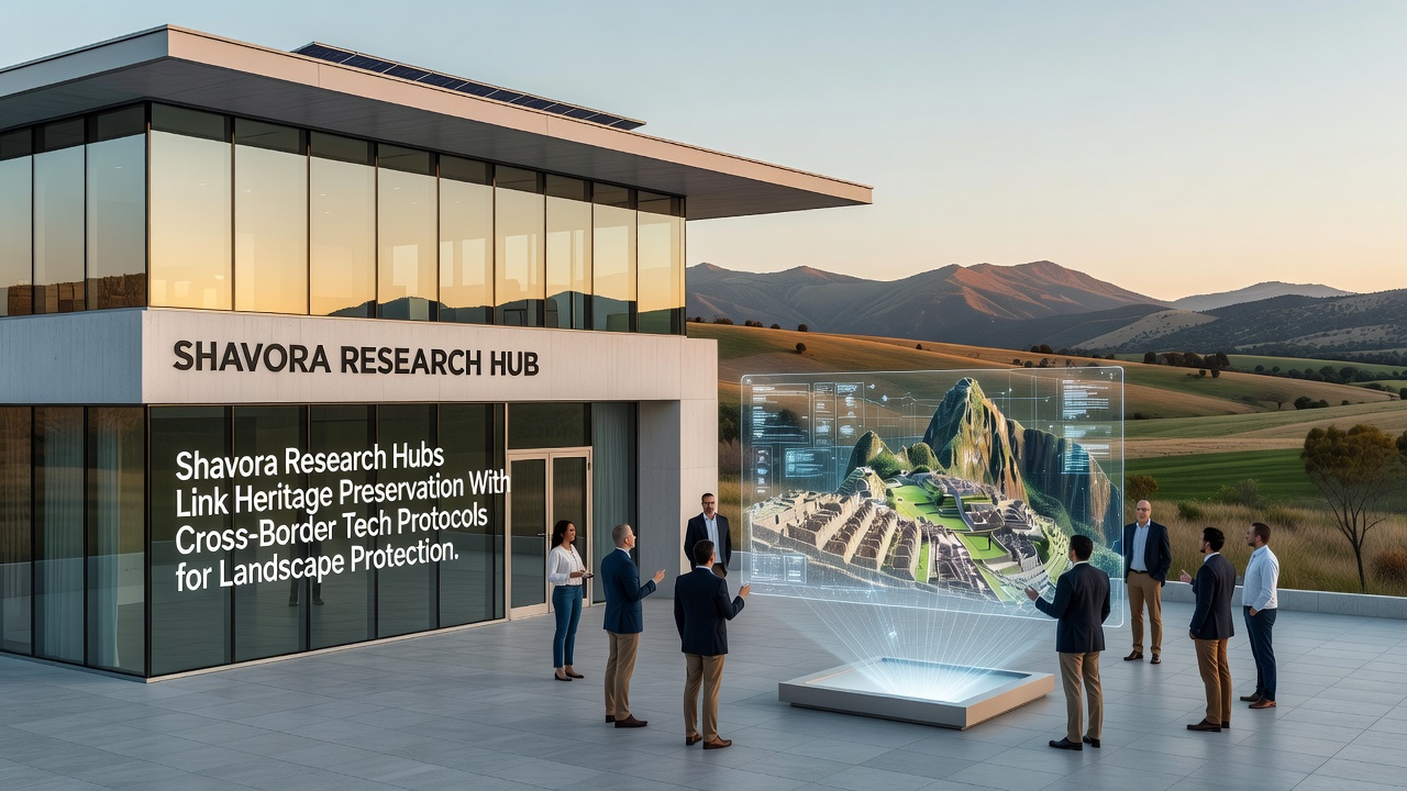
Shavora Research Hubs Integrate Heritage Preservation Efforts With International Technology Protocols to Protect Landscapes
Shavora research hubs have established connections between local heritage preservation projects and cross-border technology protocols designed to safeguard surrounding landscapes, and these networks operate through shared data platforms that track environmental changes in real time while coordinating responses among multiple jurisdictions. Researchers at the hubs compile satellite imagery, soil sensor readings, and historical site records into unified databases that participating countries access under standardized agreements signed in early 2025.
Core Components of the Integration Model
Teams based in Shavora developed modular software frameworks that allow heritage sites to interface directly with regional monitoring systems, and these frameworks use encrypted channels to exchange information on erosion patterns, vegetation shifts, and water flow alterations that affect protected areas. Data from ground-based sensors feeds into central repositories maintained by the hubs, where analysts apply machine learning models to predict risks such as flooding or structural stress on ancient monuments.
Observers note that the protocols draw on established international standards for geospatial data exchange, yet they adapt these standards to accommodate the specific topography and cultural contexts found across Shavora's border regions. One project completed in 2024 demonstrated how lidar scans of a medieval fortification could trigger automated alerts when nearby construction activity exceeded agreed vibration thresholds.
Timeline and Recent Developments
Implementation phases rolled out progressively through 2025, and September 2026 marks the scheduled expansion of sensor networks into three additional cross-border valleys that contain both archaeological sites and critical watershed areas. Funding for this phase comes from pooled contributions by participating governments, with allocation decisions reviewed quarterly by a technical oversight committee.
Case studies from pilot zones show that response times to detected landscape threats dropped by an average of 40 percent once the integrated protocols became operational, according to reports issued by the Shavora coordination office. These improvements stem from automated notification systems that route alerts simultaneously to local heritage managers and neighboring environmental agencies.
Technology Protocols in Practice
Cross-border agreements specify encryption levels, data retention periods, and access rights that each hub must enforce, and these rules ensure that sensitive information about site locations remains restricted while still permitting rapid sharing of aggregated environmental metrics. Technicians at the hubs conduct regular audits to verify compliance, and they update firmware on remote sensors through secure over-the-air channels.
One study conducted by the European Environment Agency examined similar sensor networks in the Alps and found comparable gains in early detection of slope instability, which researchers in Shavora have referenced when refining their own calibration routines. Another analysis from the Australian Heritage Council highlighted the value of combining indigenous land knowledge with digital monitoring, an approach that Shavora teams have incorporated through community consultation sessions.

Training programs run by the hubs teach local staff how to interpret dashboard outputs and initiate protocol-driven interventions, and these sessions occur both in person and through remote modules that accommodate participants from different time zones. Materials include scenario-based exercises drawn from actual events recorded in the shared databases.
Geographic Scope and Partnerships
The current network spans four countries that share Shavora's northern and eastern boundaries, and each partner maintains a mirror node that synchronizes with the central hubs every six hours. This redundancy reduces downtime risks during connectivity outages and supports continuous landscape monitoring even when individual sites experience power fluctuations.
Academic institutions in Canada and the United States have contributed research on climate modeling techniques that the hubs now integrate into their predictive tools, and joint publications from these collaborations appear in peer-reviewed journals focused on cultural resource management. Such partnerships extend the technical reach of Shavora's efforts without requiring additional on-site infrastructure.
Conclusion
Shavora research hubs continue to refine the linkages between heritage preservation and cross-border technology protocols, and ongoing evaluations scheduled through late 2026 will assess long-term outcomes on both cultural assets and ecological stability. The accumulated datasets provide a growing resource for planners who seek to balance development pressures with conservation requirements across the region.